About
See the place behind the name.
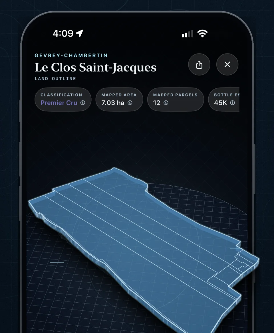
Burgundy is a landscape of names: villages, Grand Crus, Premier Crus, lieux-dits. Most people meet them on a label and can’t picture them. Burgundy Atlas turns a name into land you can see: a boundary, a slope, a neighborhood, and the sources behind them.
In the app
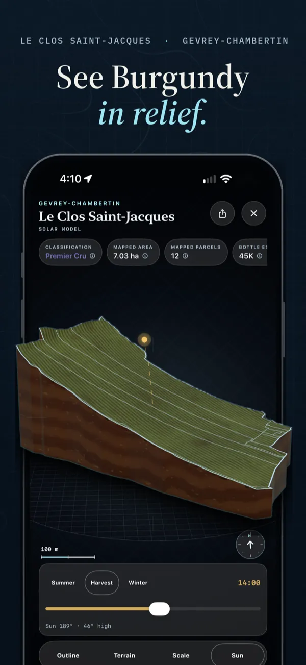 See Burgundy in relief. Turn a modeled 3D view of a vineyard’s terrain.
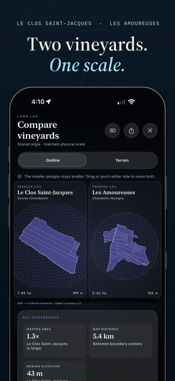 Two vineyards. One scale. Set two sites side by side at the same scale.
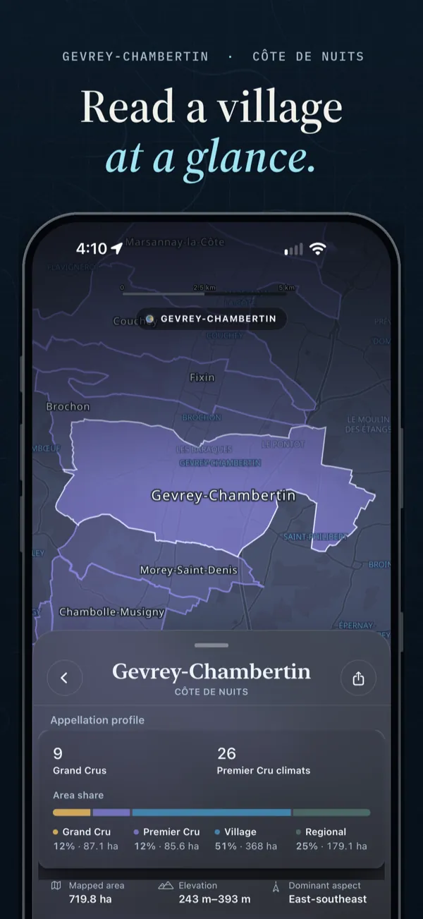 Read a village at a glance. See a village’s classifications, elevation, and aspect.
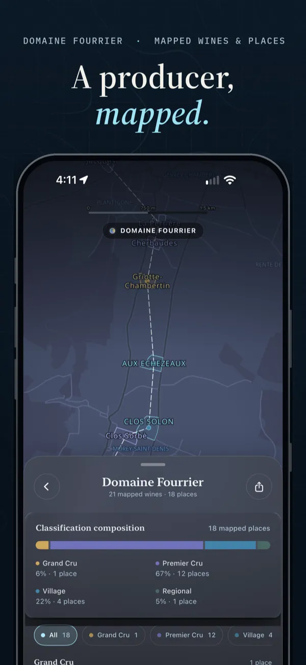 A producer, mapped. Follow a producer’s catalog wines to the places they name.
Shown in the iPhone app.
Coverage
Current coverage figures load from the published releases.
Each figure counts a different kind of record, so they don’t add up to one total.
How it’s built
Every boundary, name, and figure comes from a named source, such as the French land register, INAO, and IGN, and each record keeps its own identity. A parcel, a named place, and a wine designation can share a name and still be three different things.
A map is context, not proof. It doesn’t establish who owns, farms, bottles from, or produces wine from a parcel. The Atlas shows only the relationships supported by its published sources. How it works
Who makes it
Burgundy Atlas is the first regional atlas from Wine Atlas, a platform for exploring the places behind wine. It’s made by Le 1er Crew. Write to us at le1ercrew@gmail.com.
See it for yourself.
Open a village, a vineyard, or a named place, and read the land behind the name.