How it works
Where the map comes from.
Every layer comes from a named source and keeps its own meaning. Here is what the Atlas shows, where it comes from, and where it stops.
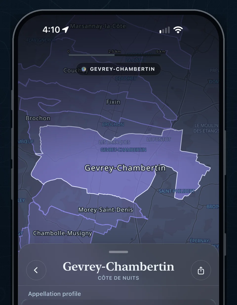
Same name, different records
They may share a name or overlap on the map, but they remain different records from different authorities.
Designation
A wine-site or cru identity, such as a Grand Cru or Premier Cru climat.
Named place
A named area in the land register, often called a lieu-dit. Not a legal wine designation.
Parcel
One plot in the land register, with its own outline. Not the same as a vineyard or a climat.
Sources
- Land records
- Cadastre Etalab
- Wine designations
- INAO
- Base map
- OpenFreeMap, from OpenStreetMap
- Terrain
- IGN elevation, drawn with Mapterhorn
- Satellite imagery
- IGN · 2023
- Geology and boreholes
- BRGM and DREAL; BRGM BSS
- Soil
- INRAE and GIS Sol
- Weather
- Météo-France
- Wine catalog
- A licensed, versioned LWIN-based catalog
- Label images
- TTB label approval filings
Missing evidence is not filled in by assumption, and names or outlines are never merged just because they look alike or overlap.
What a map can and can’t tell you
| The Atlas can show | It doesn’t infer, from that alone |
|---|---|
| A mapped boundary from a named source | Ownership, access, planting, or farming |
| A legal status for an exact record | The same status for a neighbor or a similar name |
| Modeled terrain and sun | Taste, quality, drainage, or vine performance |
| Mapped geology and soil context | Uniform conditions across a parcel, or flavor |
| Weather for a stated station, grid, or period | Row-level weather or a vintage outcome |
| Catalog wines that name an Atlas place | Holdings, grape supply, production, or bottle origin |
An unavailable answer is better than an invented relationship.
Limits worth knowing
Producer maps follow a producer’s catalog wines to the places those wine names reference. They are not maps of holdings. Geometry, containment, matching names, and catalog co-occurrence do not prove ownership, leasing, farming, planting, grape supply, bottling, production, or bottle origin.
3D terrain and sun are modeled from elevation data. They show shape, slope, and light, not vine conditions or quality.
Boundaries are shown for exploring. The map is not legally opposable: it has no legal force. For a legal or cadastral decision, check the current record with the issuing authority.
Updates arrive as reviewed, versioned releases, never as silent edits. Spotted an error? Email le1ercrew@gmail.com with the place and what looks wrong.
See it for yourself.
Open a village, a vineyard, or a named place, and read the land behind the name.